Published 3 August 2026 · 7 min read
Lose signal in Mid Wales and your streaming music is the least of your problems. Live navigation that needs a constant data connection will shrug right when a junction appears in the fog.
Where signal typically fades
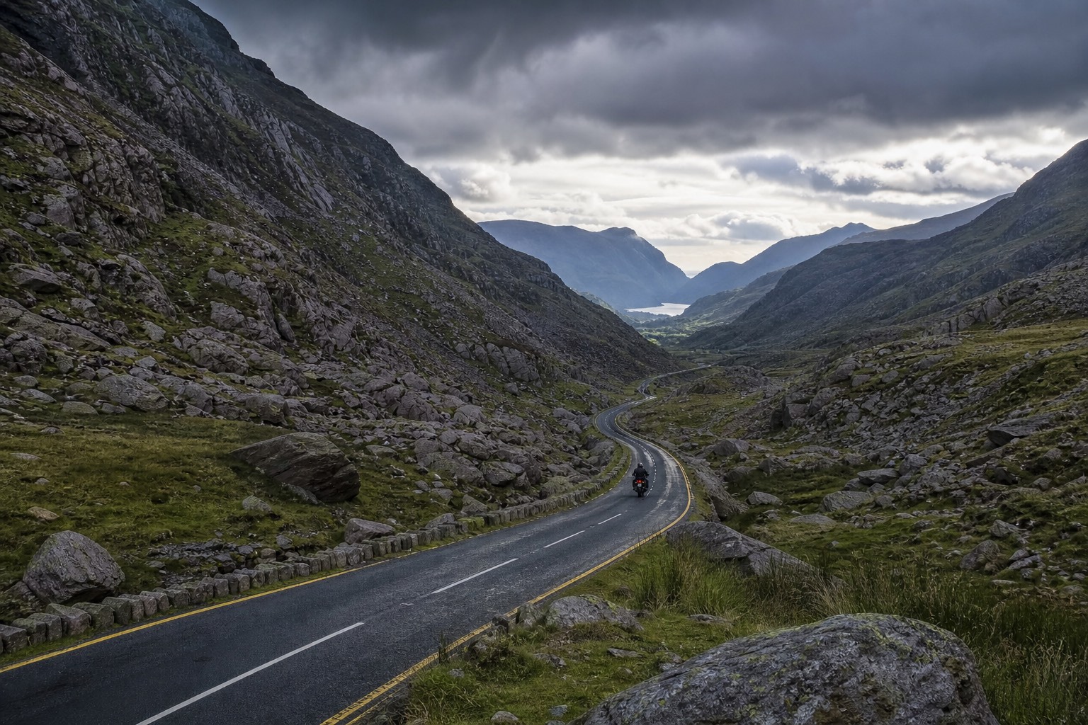
Deep valleys, forested sides and open upland away from trunk roads are classic dead zones. Popular tourist villages may have coverage; ten minutes toward a remote reservoir road you may not. Treat connectivity as a bonus, not a plan.
Offline navigation that works on a bike
- Download offline map regions for North, Mid and South Wales before you leave home Wi-Fi
- Save GPX or route cards to a dedicated GPS or phone app that works offline
- Carry a simple paper overview map for “which valley am I in?” moments
- Mount the phone securely and keep a power bank in an inner pocket
Group riding without WhatsApp
Agree regroup points that exist in the real world — cafe car parks, fuel forecourts, reservoir visitor centres — not “I’ll ping you”. If someone drops off the back on the Elan Valley loop, the next named place matters more than a blue tick.
Screenshot tomorrow’s route overview tonight. Future-you in the rain will say thank you.
Emergencies
Know roughly where you are (last village, road number, pass name). Moving a short distance toward higher open ground sometimes restores a bar of signal, but do not wander blindly off-road. A personal locator beacon is overkill for most day rides and invaluable for serious remote touring.
Fold this into your wider tour planning checklist alongside fuel and weather.